

Fly Worthy
Flexible and affordable flight training for the Antelope Valley.
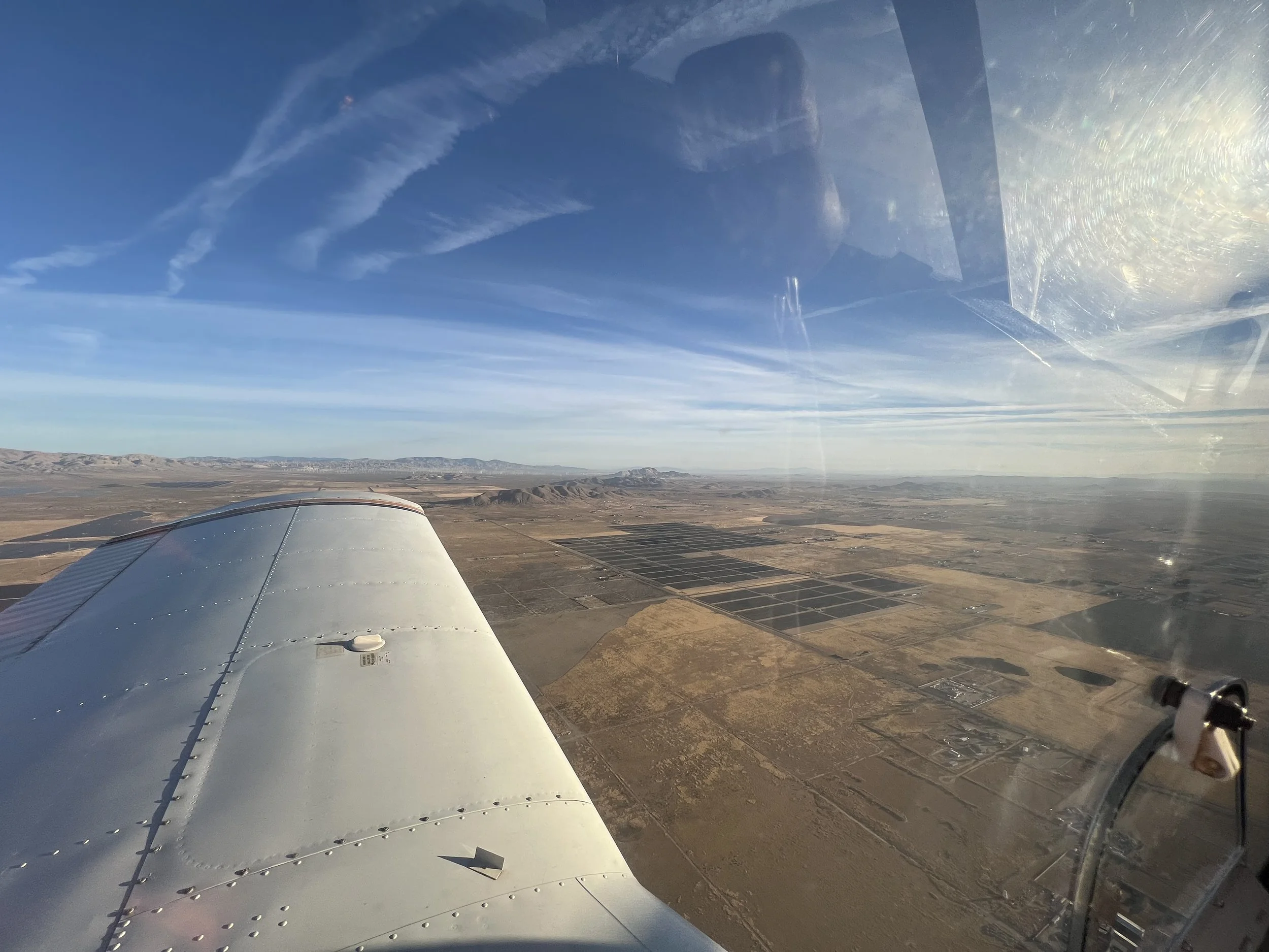
Flight Instruction for the Antelope Valley
Providing freelance flight instructing services for everyone. From aspiring aviators to the rustiest of pilots; from future professionals to weekend warriors, I’m here to help you achieve your aviation goals with maximum flexibility and affordability.
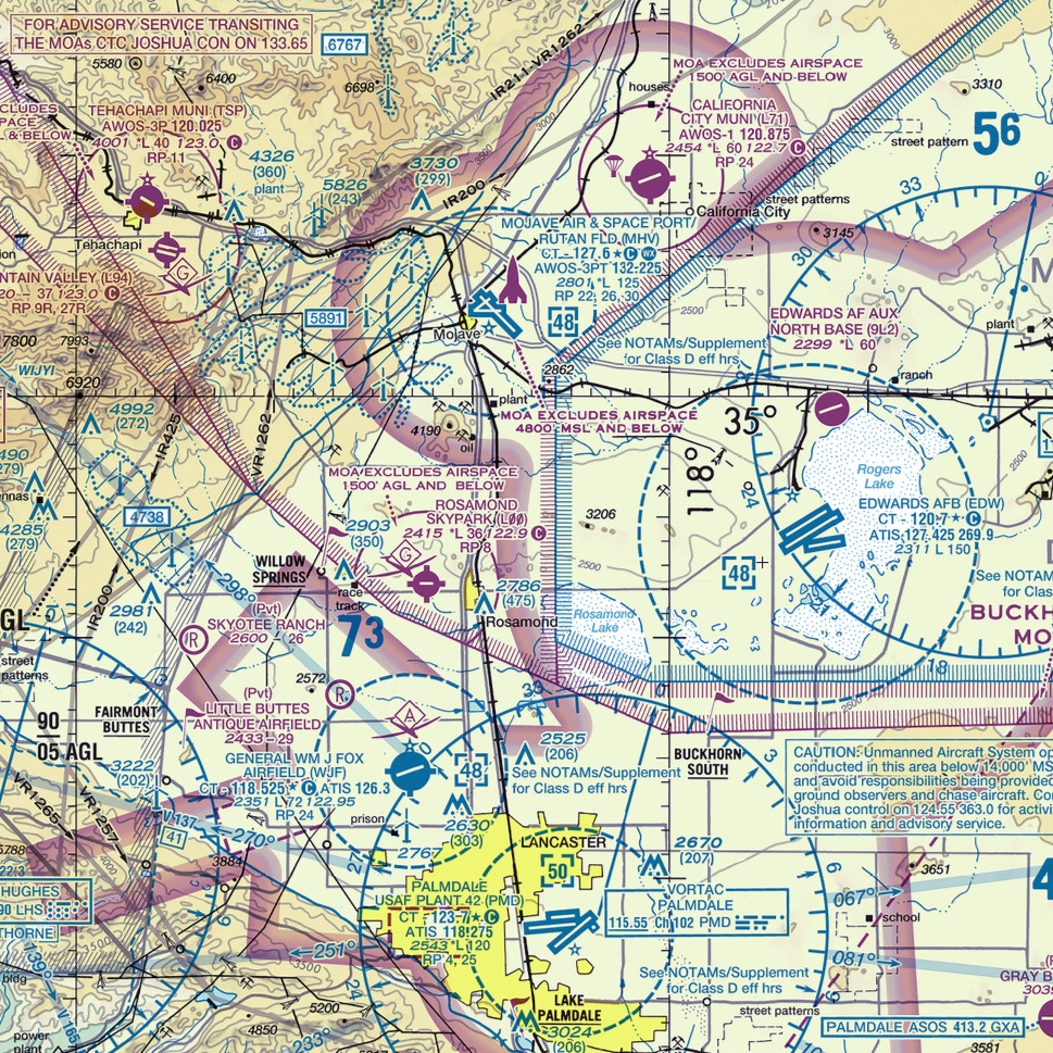
Service Areas
Primary:
Rosamond (L00)
Lancaster (KWJF)
Mojave (KMHV)
California City (L71)
Tehachapi (KTSP)
Travel:
Bakersfield (KBFL, L45, etc.)
Ridgecrest (KIYK)
Santa Clarita (L70)
Victorville (KVCV, KAPV, L26)
Barstow (KDAG)
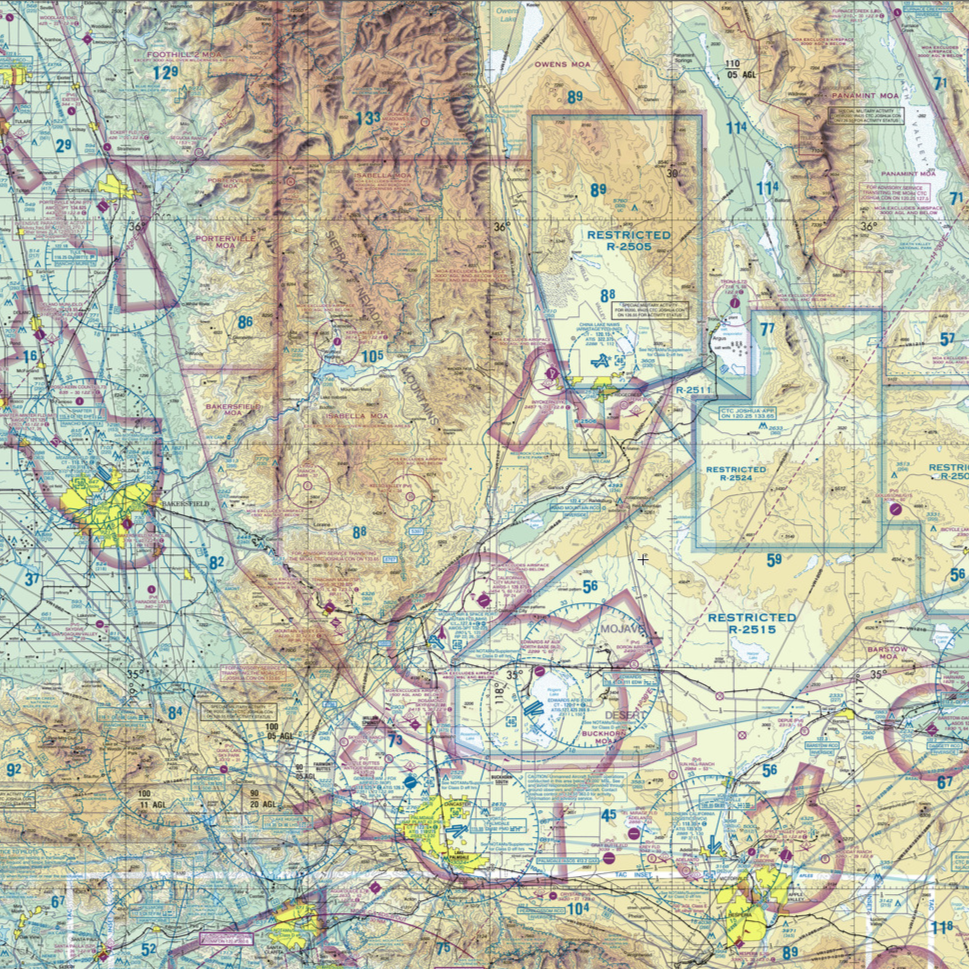
A $100 travel fee must be paid in advance for any travel work and will be refunded for cancellations caused by factors outside the student or instructor's control (i.e. inclement weather, maintenance issues, travel delays).